Campbelltown Mayor Paul Lake says he is disappointed the rezoning process for the proposed Mt Gilead housing development has been delayed, but is confident it will get back on track once the NSW state election is done and dusted.
“It’s all to do with the coming state election (March 28),’’ the mayor said of council’s controversial decision to defer rezoning plans for Mt Gilead.
“It would have been a little different had there been no election,’’ Councillor Lake told the South West Voice after the meeting.
On Tuesday night, at its first meeting of 2015, nine councillors out of 14 present voted for deferral after an emotional plea by veteran councillor Sue Dobson.
The mayor, and the other four dissenting councillors, wanted the plan to proceed to public exhibition.
“This decision means Mt Gilead is put back at least another eight weeks,’’ Cr Lake said.
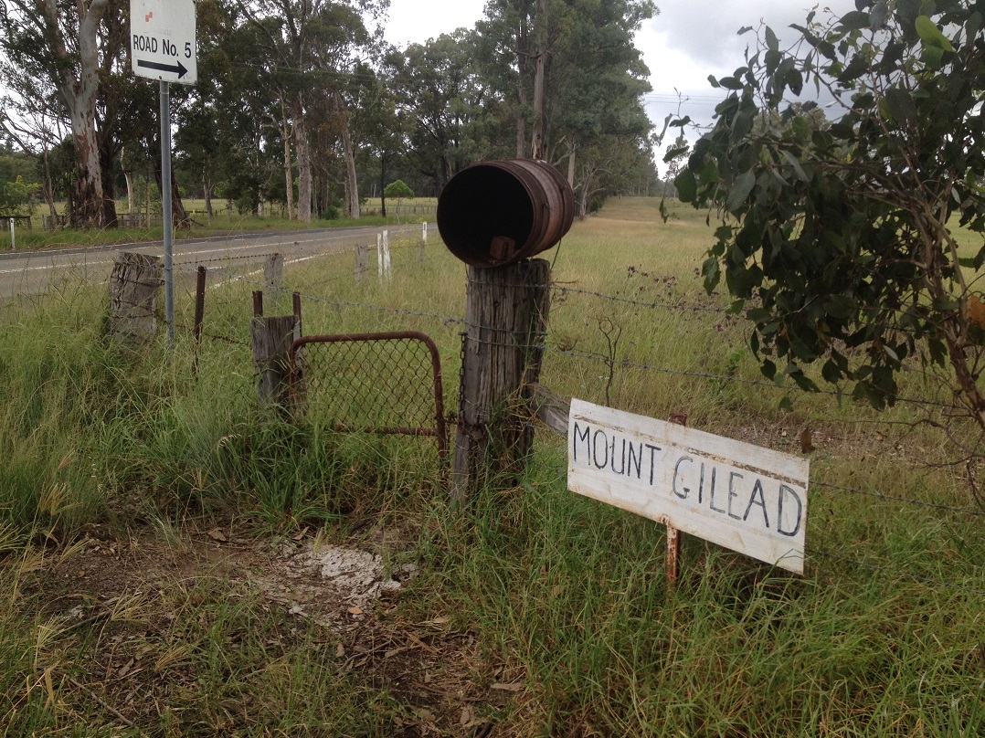
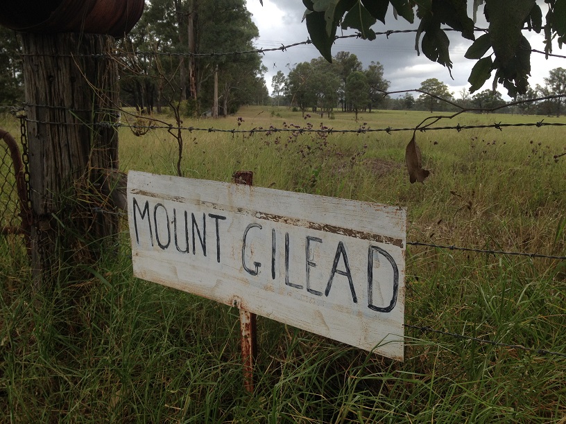
Under the plan first submitted by the council to the NSW Department of Planning and Infrastructure (now known as NSW Planning and Environment) in July 2012, when the historic farm property of Mt Gilead is fully developed over a decade or more, it will result in around 1,700 new homes being built. This would boost the population of Campbelltown by around 5,000 people.
But as most councillors pointed out on Tuesday night, the most controversial aspect of the plan is that the 200 hectare property fronts Appin Road just past St Helens Park and Rosemeadow.
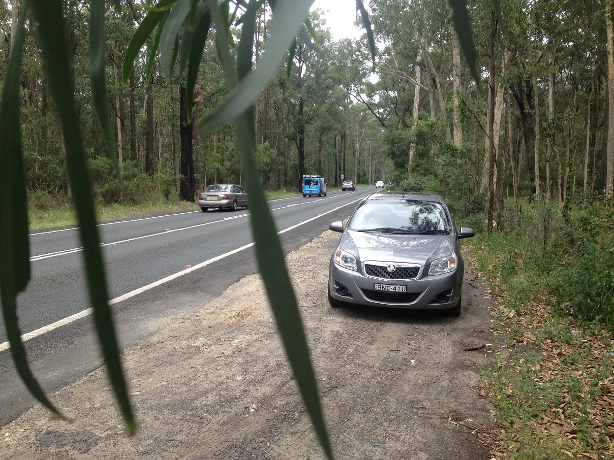
Appin Road has claimed scores of local lives in motoring accidents over the years despite pleas by local figures for money to fix the notorious stretch of road.
Listening to the councillors on Tuesday night, it was obvious that unless the state government commits to funding a massive widening program of Appin Road, Mt Gilead will languish on the backburner for a long time.
Council received a positive response in September 2012, but was advised that the proposed rezoning of the subject land could only proceed under certain conditions. These conditions included the preparation of a number of technical studies to support the planning proposal. The technical studies have now all been completed and form the basis of the final draft Mt Gilead Planning Proposal.
Cr Dobson’s argument for deferral was hung on the need for councillors to get enough time to read and digest these reports.
“How many (university) degrees will you have to acquire to understand all the detail and fine print contained within the reports,’’Cr Dobson told the council.
“Why is this development being pushed so fast and so hard?
“This area (Mt Gilead) is water catchment for two major rivers and it sits in the shortest point between the Nepean and Georges Rivers, making it a critical point as a wildlife corridor,’’ Cr Dobson said.
Councillor Fred Borg, a noted campaigner for Appin Road improvements for many years, was short and sweet: “Nothing can happen here until Appin Road gets done,’’ he said.
Labor councillor Rudi Kolkman said he was concerned that voting to put the plans on public exhibition may give rise to a public perception that “we have made up our minds; that we support the rezoning of Mt Gilead.
“The reality is that we are not approving anything,’’ he said.
“We can just support it to go on to public exhibition.’’
Cr Kolkman also warned there was a possibility after the state election the planning minister “may take it out of our hands’’.
“The minister may use the power he or she has to rezone the land, take it out of our hands, because we’re seen as dragging the chain,’’ Cr Kolkman said.
Councillor George Greiss pointed out that the process had first started almost three years ago in 2012.
“But now we are told we don’t have time, it’s got to go to exhibition,’’ he said.
The site is located directly south of Noorumba Reserve, north of the historic Beulah property, and east of the Mount Gilead homestead site which includes the house, outbuildings, dam and old mill.
The total area of the subject site is 210 hectares, approximately half of which is considered to be able to be developed for urban residential purposes.
Historically the site has been predominantly used for agricultural purposes, and contains a number of drainage lines and farm dams, with pockets of remnant native vegetation. Whilst a hill with steep slopes is located within the north western corner of the subject site, the rest of the land is generally gently sloping.
The objectives of the final draft Planning Proposal (which is now not going on public exhibition) are to:
• Permit low density residential development as well as public active and passive open space and associated community amenities and facilities;
• Provide an opportunity for a small area of retail development;
• Protect the heritage significance of the Mt Gilead homestead site;
• Protect the environmental significance of the Beulah biobanking site;
• Protect environmentally sensitive land and provide an ecological corridor linking Noorumba Reserve with the Beulah biobanking site and the Nepean River corridor.
• Reserve land on Appin Road for acquisition by Roads and Maritime Services for future road infrastructure;
• Increase the supply of housing within the Campbelltown LGA with the addition of up to 1700 new dwellings.
“It is recognised that the development of up to 1700 new dwellings with a likely population of 5000 people would create the need for a number of social and recreational facilities and amenities,’’ the report to council said.
As such it is proposed to provide not only significant areas of passive open space, but also an integrated community hub that is proposed to include:
• Sporting facilities in the form of a cricket oval, AFL field and separate exercise and play areas;
• Amenities building including home and away change rooms;
• Community building and provision for a small retail outlet;
• Car parking;
• Connected biodiversity corridor which is part of the wider network.
The plan is four times smaller than one submitted – and rejected by the then state government – around 20 years ago which proposed housing for 20,000 people in Mt Gilead.