All hell broke loose when the Outer Sydney Orbital corridor maps were released to the public in 2018.
There was outrage when it was realised the route would devastate a number of historical sites and properties.
Some affected residents were convinced the M9 corridor had been chosen by faceless bureaucrats drawing lines from Penrith to the Hume Highway at Menangle on Google maps.
Hopefully the NSW Government has learned its lesson and won’t repeat that mistake with the current public exhibition of the stage two consultation for the Outer Sydney Orbital.
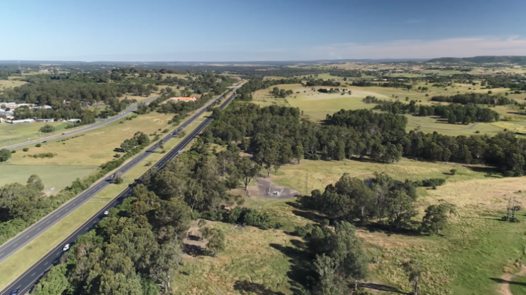
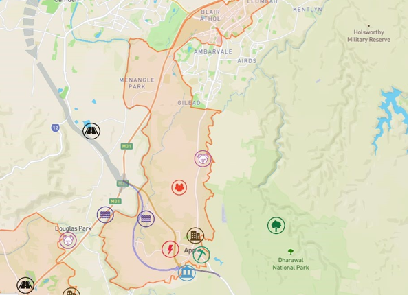
With stage two, Transport for NSW are trying to identify a future transport link between the Hume Motorway and Appin Road, east of Appin village.
Two options have been put up for comment over a four week period between November 16 and December 14.
Stakeholders, landowners and community can provide feedback on the two shortlisted corridor options between the Hume Motorway and Appin Road.
Outer Sydney Orbital Stage 2 will provide for a future road connecting new housing developments and employment growth anticipated for the area.
Transport for NSW say the key benefits of Stage 2 would include:
- Support urban development across the Wilton, Greater Macarthur Growth Areas and the Illawarra-Shoalhaven region
- Facilitate great places and provide certainty for investment across the region
- Provide communities with transport connections between the Western Parkland City and the Illawarra- Shoalhaven over the longer term
- Provide access to jobs and other employment opportunities across the Aerotropolis and surrounding industrial lands
- Provide access to the Western Sydney Airport
- Support different transport needs including public transport, walking and cycling options
- Enable freight to move efficiently and safely.
To make a submission visit https://www.transport.nsw.gov.au/corridors/oso2


In the North West region because of land owners in Vineyard and surrounding areas were unhappy of their land being taken for the M9 motorway, NSW Transport has stopped the M9 at Richmond Road until a new route canbe established.
We the land owners in Shanes Park are also unhappy about our land being taken for the M9 especially when there are other options for the road to travel through, it could go through government owned land near by rather than our private land.
50 percent of Shanes Park is flood prone land, but NSW Transport is taking the flood free land to build their highway on.
Blacktown City Council put in a proposal to NSW Transport to consider running the road along the flood lands of Shanes Park rather than losing valuable land that could be easily developed for homes, industrial or commercial sites.