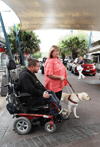
A mobility map is now available to help the elderly and people with disabilities get around in Ingleburn and Campbelltown.
The map was developed by Campbelltown City Council in consultation with the Seniors and Disability Advisory Group.
The map is easy to follow and lists accessible toilets, parking and play equipment.
There are also railway stations, bus stops, taxi ranks and a host of community facilities to help both local residents and visitors to the central business district of Campbelltown and Ingleburn.
The aim of the map is to assist the aged and people with disability to identify the locations of major accessible amenities and transport options in the two CBDs.
This resource is a first for the region.
Mayor of Campbelltown, Cr Paul Hawker, said that while the resource was designed to support people with limited mobility to access facilities – including those in wheelchairs, on walking frames, and even families using prams – it would be helpful for the whole community.
“With Campbelltown’s central business districts attracting thousands of visitors each week, it was important that council provided a convenient resource that identified the locations of major accessible amenities and transport options within the two major CBD areas,” Cr Hawker said.
“I thank the Seniors and Disability Advisory Group for their significant contribution to the development of the city’s first mobility map, and I have no doubt that the new resource will be welcomed by all members of the community,” Cr Hawker added.
Printed copies of the Campbelltown and Ingleburn CBD Mobility Map are available from Campbelltown City Council library branches and leisure centres, Civic Centre and Visitor Information Centre, or can be downloaded via council’s website here and search for Mobility Map.
