Since it was proposed more than 40 years ago, the Georges River Parkway has been the subject of much debate in Campbelltown.
As recently as four or five years ago a local chamber of commerce was calling for the construction of this four lane road to ease the emerging traffic congestion.
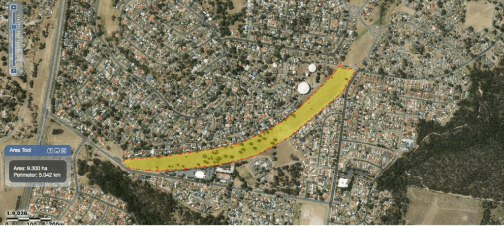
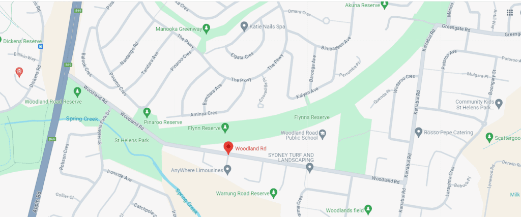
The proposed route of the Parkway, or Smiths Creek Bypass as it is also known, suggests planners had a new north-south road in Campbelltown in mind, from Appin Road at St Helens Park to Glenfield via Airds, Ruse, Kentlyn and Minto Heights, much of it next to the Georges River or its catchment.
It was expected to be required around 2035.
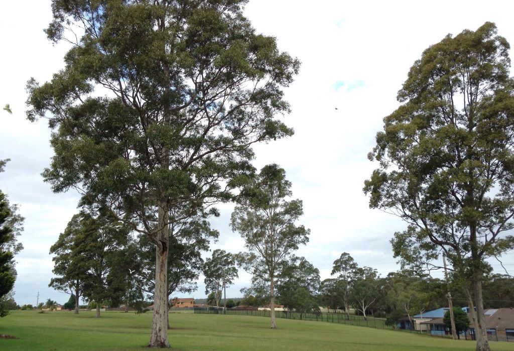
In the meantime, the land corridor owned by the state government and reserved for this road infrastructure has been used by residents for passive recreation, especially at the southern end.
It’s thanks to some community minded residents at Bradbury concerned about losing this space because it may be turned over for housing that we now know for sure that the plans for a four lane Georges River Parkway are done and dusted.
One of the courses of action residents took was to contact Campbelltown Council, to confirm or deny if a rezoning plan for the corridor was still on the books.
Council has now responded to Mr Alan Skeoch, the resident co-ordinating the campaign to save the land for recreation.
The meticulous and detailed response from Mr Jim Baldwin, the director of city planning and environment, did more than confirm there were no council plans to rezone for housing at this stage.
But it also contained confirmation that the land corridor reserved for road infrastructure is no longer required for that purpose.
In other words, there will never be a Georges River Parkway built.

Mr Baldwin explains why in the email to the residents:
“Our investigations confirmed that the subject land is zoned SP2 – Infrastructure and is not a deferred matter under our current LEP.
“The public transport corridor is a remnant of the Smiths Creek By-Pass, which extended from Rose Payten Drive in Leumeah to Woodland Road in St Helens Park.
“The public transport corridor is no longer required by the government.
“The government’s approval of the footprint for the urban renewal of Airds relied upon a portion of the subject transport corridor for the purposes of housing and local roads. This development broke the corridor and with it the value of the land as a transport corridor was lost,’’ Mr Baldwin said.
“The northern portion of the original public transport corridor has lost all value as a public transport corridor, as it is generally zoned RE1 – Public Recreation, and is considered now to be an important environmental and biodiversity corridor.’’

The residents were also concerned with the outcome of the state government land audit, and what it may recommend for land no longer needed for a road.
Mr Baldwin informed them that no decisions would be made until the completion of the audit later this year.
“The state government will be in contact with council towards the end of 2024 to revisit the matter of the future use of the subject land,’’ he said.
Alan Skeoch says he’s satisfied with the level of acknowledgement from the council for now.
“But it means that we will continue to put in an effort throughout this year,’’ he said.
“We will continue to seek protection of this important community asset and not stop until our effort until the zoning is appropriately made a reserve.’’

Great news,