Our bush fire brigade volunteers are now able to respond faster and safer as a result of new technology which is helping detect fires earlier, improve situational awareness and strengthen communications in remote areas.
AI-powered camera systems, thermal-imaging drones and expanded satellite connectivity are transforming how emergency services detect, assess and manage bush fires, giving crews earlier warnings, clearer intelligence and better on-ground coordination.
In the past year alone, high-definition cameras have detected nearly 4,000 fires, giving agencies critical early warnings and helping crews make faster and more informed decisions.
The cameras have played a key role in a range of recent incidents across the state.
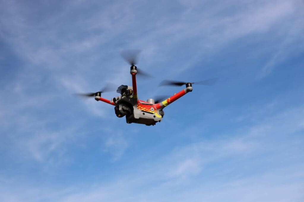
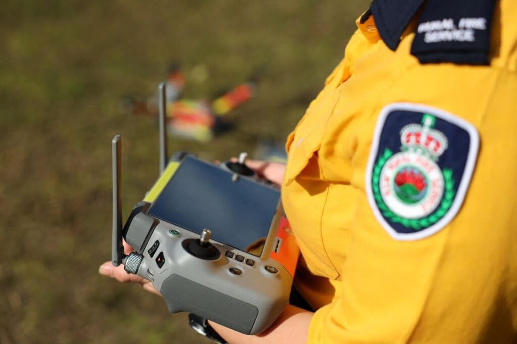
The drone capability of the RFS also continues to be expanded, with more than 50 trained pilots now positioned across the state.
Equipped with thermal imaging, drones provide live vision of firegrounds and help identify hot spots after a main fire has passed.
They can be rapidly deployed to emerging incidents or areas of concern, giving crews clearer, real-time picture of conditions and improving safety for firefighters on the ground.
This bush fire season has marked a major step forward in modernising frontline communications, building on recommendations from the NSW Bushfire Inquiry to strengthen the RFS fleet.
Vehicles are being upgraded with enhanced connectivity, including an on-going roll-out of satellite-enabled systems (Vehicle as a Node technology) and thousands of trucks equipped with Mobile Data Terminals to improve crews’ communication, connectivity and safety in remote and disaster-impacted areas.
Since the season began on October 1, the RFS has responded to more than 8,750 bush and grass fires, as broad areas of the state continue to experience drying conditions.
The State Government is investing more than $2.2 billion in emergency services, uplifting capability and boosting resources across NSW.
“When fighting bush fires, the value of early detection and accurate situational awareness cannot be overstated,’’ says RFS Commissioner Trent Curtin.
“The ability to access real-time imagery, particularly in remote and high-risk areas, helps us build a clearer picture of fire behaviour and conditions as incidents unfold.
“Projects like these ensure the RFS can continue to adapt and evolve in support of our volunteers and the communities they protect.”